CERTIFICATE IN GEOGRAPHIC INFORMATION SYSTEMS

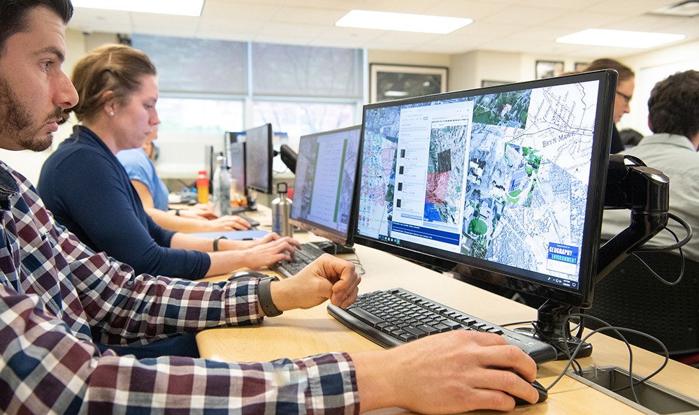
The Graduate Certificate in Geographic Information Systems (GIS) is a 14-credit program that addresses the increasing demands for geospatial expertise in the workforce and provides Villanova students comprehensive training and application of geospatial technologies.
Geographic Information Systems study geospatial phenomena using concepts, techniques, tools and data associated with georeferenced information, remote sensing, data visualization, global positioning systems and spatial analysis. These theories and technologies are revolutionizing methods in associated fields of research including the environmental, health, social, behavioral and biophysical sciences, as well as the operations of municipal organizations, business, industry, government and nonprofit organizations. GIS has become an essential skill and prospective employees are expected to demonstrate facility with geospatial technologies.
PROGRAM DETAILS
The GIS certificate program’s principal objective is to produce highly educated graduates who can use geospatial technologies and data analysis techniques to anticipate and respond effectively to challenges and solve complex problems. They will be able to apply their geospatial education to anticipate uncertainties, solve complex problems, and respond effectively to challenges with confidence and reasoned judgment.
At the completion of the certificate program, a student should be able to:
- Demonstrate an understanding of fundamental concepts and practices of GIS and advances in Geospatial Information Science and Technology (GIST).
- Apply GIS analyses to geospatial problems and research questions.
- Demonstrate proficiency in the use of GIS tools to create maps and other geospatial products that are designed-for-purpose and effectively convey information.
- Apply basic geovisualization concepts such as color theory, symbolization and map design to enable analyses of problems with a geospatial component.
- Gather and process original data using a Global Positioning System (GPS) and demonstrate proficiency in theory and application of different referencing methods.
- Demonstrate organizational skills in spatial data and project management.
- Demonstrate confidence in undertaking new analyses using GIS and troubleshoot problems in GIS.
- Apply modeling, mathematical concepts and statistical methods to the analysis of complex geospatial problems in a variety of professional settings.
The GIS graduate certificate programs requires the completion of 14 credits.
Required Courses (8 credits)
- GEV 7040: Introduction to GIS (4 credits)
- GEV 7041: GIS for Environmental Systems (4 credits)
- GEV 9003: GIS Portfolio (0 credits)
Elective Courses (6 credits)
- GEV 7042: GIS Applications (3 credits)
- GEV 7100: Remote Sensing for Environmental Analysis (3 credits)
- GEV 7201: Spatial Analysis of Environmental Systems (3 credits)
- GEV 7202: Geostatistics (3 credits)
- GEV 7203: Environmental Modeling with GIS (3 credits)
- GEV 7204: Geospatial Project Management (3 credits)
- GEV 8003: QGIS (1 credit)
- GEV 8003: Story Maps (1 credit)
- GEV 8003: Drones (1 credit)
- GEV 8320: Conservation GIS (4 credits)
Program Notes
- Students who have successfully completed GEV 4700 at Villanova University or at an equivalent course at another institution (after review by the GISC Program Coordinator) will have the requirement for GEV 7040 waived in place of an additional four credits of electives. Students who have substantial professional experience with GIS will be interviewed by the GISC Program Coordinator and will, at the Program Coordinator’s discretion, likewise have the requirement for GEV 7040 waived in place for elective credits.
- Students enrolled in the MSES program may count courses completed as part of their MS degree towards the GISC.
- Students will complete the 0-credit GEV 9003 GIS Portfolio course in their final semester, which entails the development and presentation of a portfolio of work completed during the GISC program.
The demand for professionals with GIS expertise is increasing across industry, business, government and non-profit organizations. Fields in which GIS is of growing importance include:
- City and regional planning
- Emergency management
- Transportation planning
- Utility and infrastructure planning
- Health and human services
- Humanitarian aid
- Conservation and wildlife management
- Forest inventory and management
- Environmental planning, compliance and protection
- Coastal water quality management
- Real estate assessment
- Commercial marketing
- Site selection and analysis
- Landcover mapping and land-use
- Business logistics
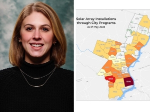
ALUMNI SPOTLIGHT - CHARLOTTE SHADE ’19 MS
Charlotte Shade ’19 MS completed her master’s thesis, “Green infrastructure policy as a strategy for climate change adaptation in Philadelphia,” under the direction of Dr. Peleg Kremer. Shade published a portion of her thesis as a journal article title “Predicting Land Use Changes in Philadelphia Following Green Infrastructure Policies” in the journal Land.
Shade now serves as Program Manager for Renewable Energy at the City of Philadelphia’s Office of Sustainability, in which she focuses on municipal energy conservation, efficiency and emissions reductions. Some of her responsibilities include buying renewable electricity for city buildings, mapping the potential for solar panels and analyzing energy use data.
Shade’s research work and use of Geographic Information Systems (GIS) in Villanova’s master’s program in Environmental Science helped prepare her for a career that blends her passion for sustainability with the skills to help solve complex environmental issues. Learn more about Charlotte and her career.


