Drones Take Flight in Geography and the Environment

GEV student practices flying one of Villanova’s drones (DJI Mavic 2 Pro).
Professors in Villanova University’s Department of Geography and the Environment (GEV) had heard from students about their desire to get more experience with drones. The faculty also recognized that employers were interested in hiring students that had this background.
For a few years, GEV has taught a drone lecture as part of a Geo-Techniques course, led by associate professor Frank Galgano, PhD. Students are able to map out a flight plan over Mendel Field, fly the drone while taking photos through their path and then process the images in the geographic information system (GIS) lab. But that’s it.
So, Stephen Strader, PhD, assistant professor of GEV, and Michele Gandy, GIS lab manager, designed a one-credit course dedicated to drones that covers their history, how to fly them, image processing and a high-level overview of things students should know before taking the exam to receive their unmanned aircraft system (UAS) license—a requirement to fly a drone commercially or on Villanova’s campus.
The course was offered for the first time this fall and took place over three consecutive Saturday mornings. The first two weeks the class was in the GIS lab on campus and the final week went outdoors. The class traveled to Willow Creek Farm Preserve in Collegeville to fly the drones. Although the students weren’t licensed to fly the devices, Gandy and Strader are, and students were able to fly them under their supervision. At Willow Creek, they flew over blueberry patches to identity at what stage of health the crops were at.
“In visible light, you can tell the difference between a green, healthy crop and a brown crop that’s fighting for life,” Gandy said. “But what the drones helped us do is really help differentiate between super healthy vegetation and ones that are starting to struggle a little bit. It might look green to us, but with the different cameras we have on the drones, like near-infrared, we’re able to see what’s really going on.”
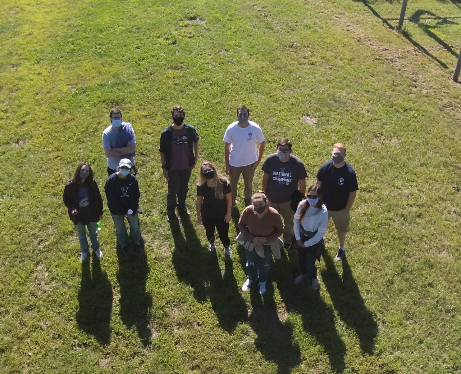
Aerial shot of GEV students with a drone at Willow Creek Farm Preserve.
The opportunities for students stretch beyond the one-credit course. All GEV students must complete a thesis or a project and Strader is encouraging his seniors to use the drones.
“I was mostly interested in the course for the potential applications to environmental research, specifically how drones can be used in disaster relief and damage survey applications after extreme weather events,” says Dennis Weaver, a graduate student in GEV who hopes to pursue a career in risk management or disaster response. “I think the more students that take this course and get familiar with the drones themselves, the more and more they will be used to collect data that can be analyzed for research.”
The future is bright for drones in GEV and Strader is excited at all of the possibilities.
“This course gave students a preview of all the things that you can do with drones,” Strader says. “Our hope is this turns into a three-credit course in the near future, where we’ll be able to get them licensed and do research projects. Soon, more faculty will get their UAS license and we’ll integrate drones into more of the GEV curriculum.”
The drones were able to be purchased and available to GEV through the College of Liberal Arts and Sciences Capital Equipment fund. The fund has been critical to the department’s continued growth as they try to keep up with a rapidly evolving geospatial field.
“The purchase of this equipment has made it possible for us as a department to better train and prepare our students for their future careers,” Strader said. “It is vital to their success, and we are grateful.”